Story
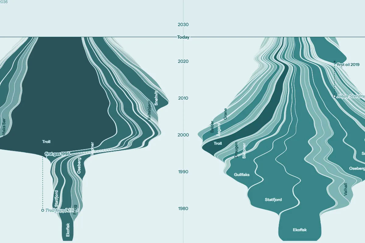
What the shelf has left
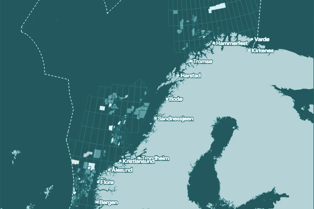
Every field on the Norwegian shelf, month by month, as a stream. See the giants that came first, the long tail that followed and what is left to produce.
Subsurface stories, maps and tools
Scrolling pieces that follow one argument from data to conclusion. Light or dark, metric or barrels.
Story
Every field on the Norwegian shelf, month by month, as a stream. See the giants that came first, the long tail that followed and what is left to produce.
Story
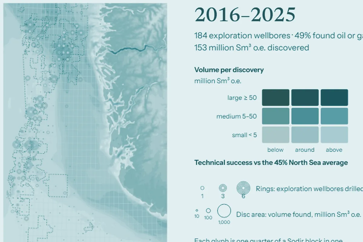
Fifty years of Norwegian exploration wells on one map. They still find oil or gas about half the time, in finds that keep getting smaller.
Story
Norway's latest licensing round, read company by company. Gaps filled around existing fields, in closer partnerships.
Story
A handful of boreholes and the echoes of sound waves become a confident picture of rocks no one has seen. Here is how far to trust it.
Pages to open and look around in, with no argument to follow.
Gallery
Seismic amplitude drawn as rings, cities, shells and constellations, and two surveys eight years apart as one picture.
Map style
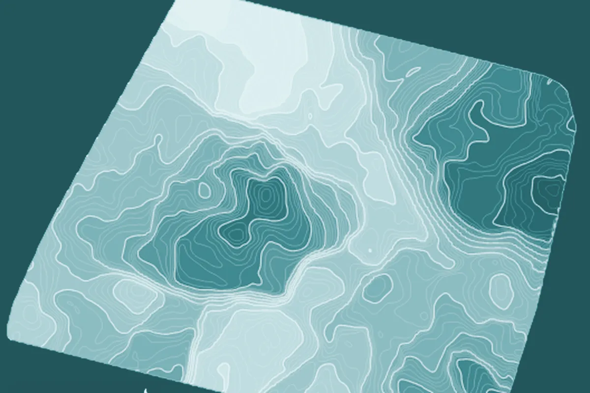
Volve horizons as smoothed, shaded contour maps, with the colour ramps, smoothing and contours open to compare.
Atlas
Open topography and bathymetry for the North Sea, the Norwegian Sea, the Barents Sea and beyond, in one quiet house style.
Open code, if a page here is the kind you want to make.
Framework
One Markdown file and its data become a page that reads as an article or plays as a deck, with the style and the checks built in.
Print-grade plates from any SubScout figure: vector PDF or PNG at a stated resolution, with source, units and confidence on every sheet.
Map sheets from A4 to A0 on Relief terrain: PDF with live text and a georeferenced GeoTIFF.